 Hiking Trail
Knuckles 05 Peak - Bambarella Trail
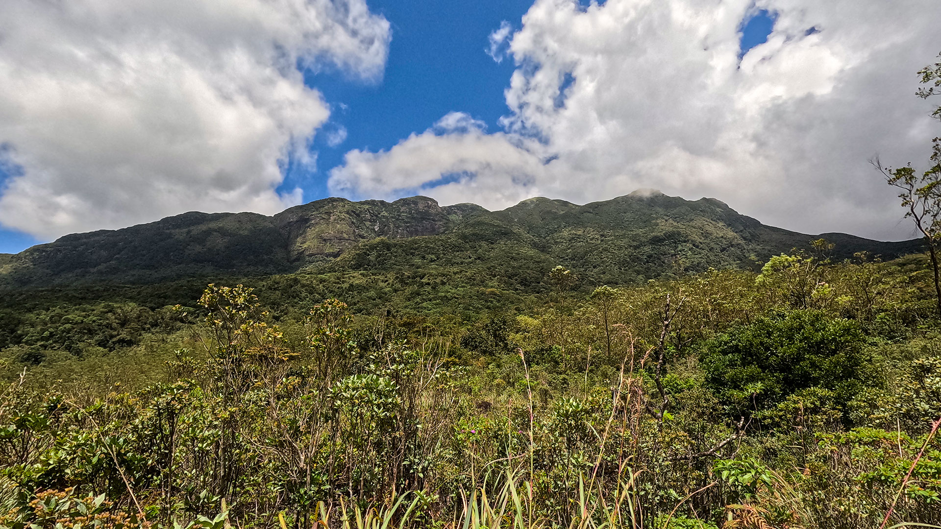
The Bambarella Trail, also known as Dawatagala Knuckles Natural Trail, is a moderate hike in the Knuckles Conservation Forest leading to the 05 Peak ridge.
158 km from ColomboModerate
View Details
Matale District
A guide to hiking and exploring the Knuckles Conservation Forest - Sri Lanka's most remote and rewarding highland wilderness.
The Knuckles Conservation Forest is a UNESCO World Heritage-listed mountain range covering 175 km² of cloud forest, montane grasslands, and river valleys northeast of Kandy. The range takes its name from the appearance of the five main peaks when viewed from the Kandy plains - they resemble the knuckles of a clenched fist. The area receives heavy rainfall from both monsoons, keeping the forest perpetually misty and the rivers running year-round.
Hiking TrailThe Bambarella Trail, also known as Dawatagala Knuckles Natural Trail, is a moderate hike in the Knuckles Conservation Forest leading to the 05 Peak ridge.
February to April is the driest window in the Knuckles, with clear mornings giving long-range views from the ridge. The range is hikeable year-round but trails become slippery and visibility drops significantly during the southwest monsoon (May-September). Early morning starts are strongly recommended - cloud typically builds from mid-morning onwards and can obscure summit views entirely by noon.
The main gateway towns are Kandy (35 km southwest) and Matale (25 km west). A Forest Department permit is required to enter the conservation zone - these are available at the Rangala or Pitawala Pathana entry points. Most visitors hire a local guide from Kandy or Matale, which is strongly recommended given the unmarked trail network. There are basic guesthouses at Riverston and Illukkumbura for multi-day stays. Four-wheel-drive vehicles are needed for the main access roads after rain.