Scenic Route
Devil's Staircase
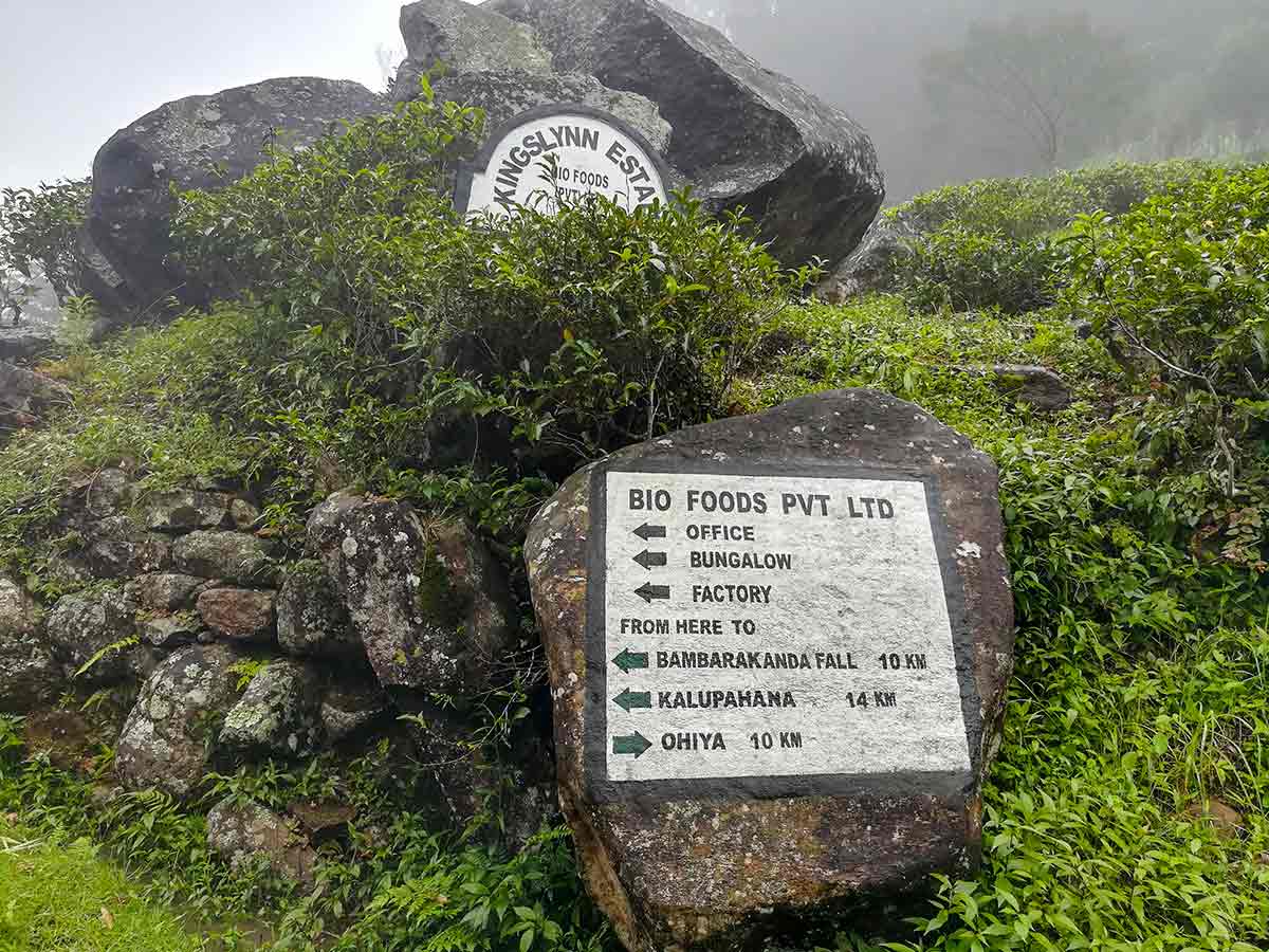
Ohiya / Horton Plains Road → Kalupahana (A4 Road)
- Distance
- 14 km
- Difficulty
- Hard
- Region
- Central Highlands
About this Route
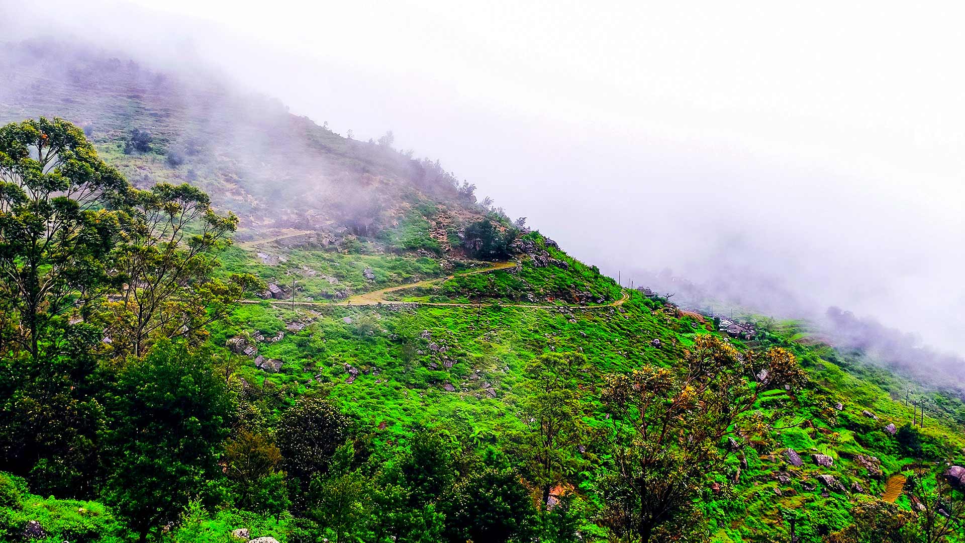
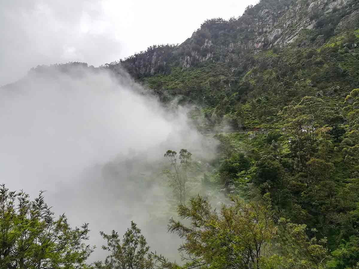
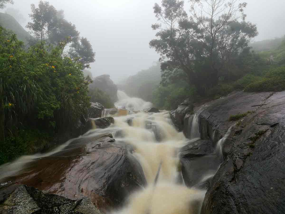
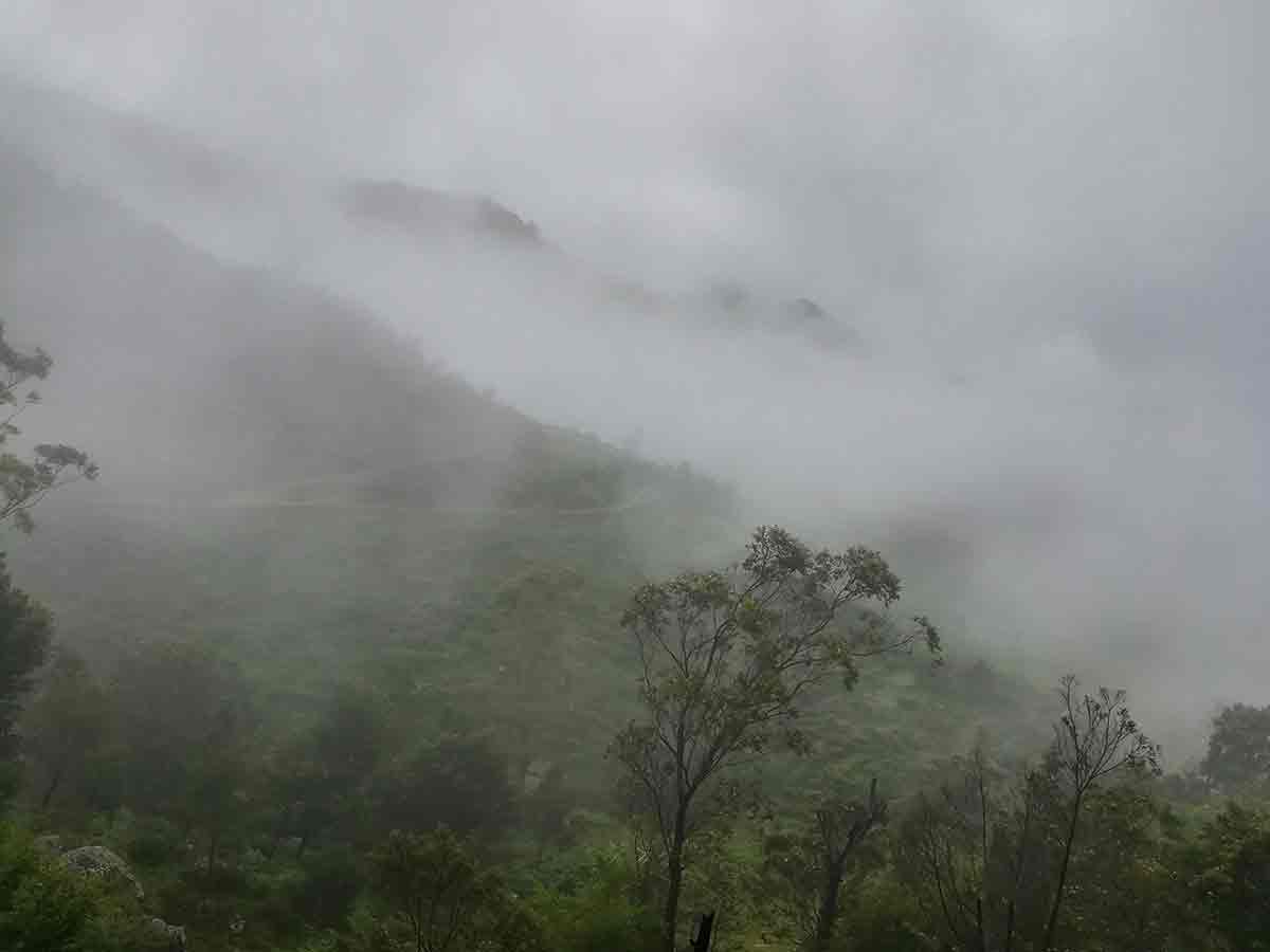
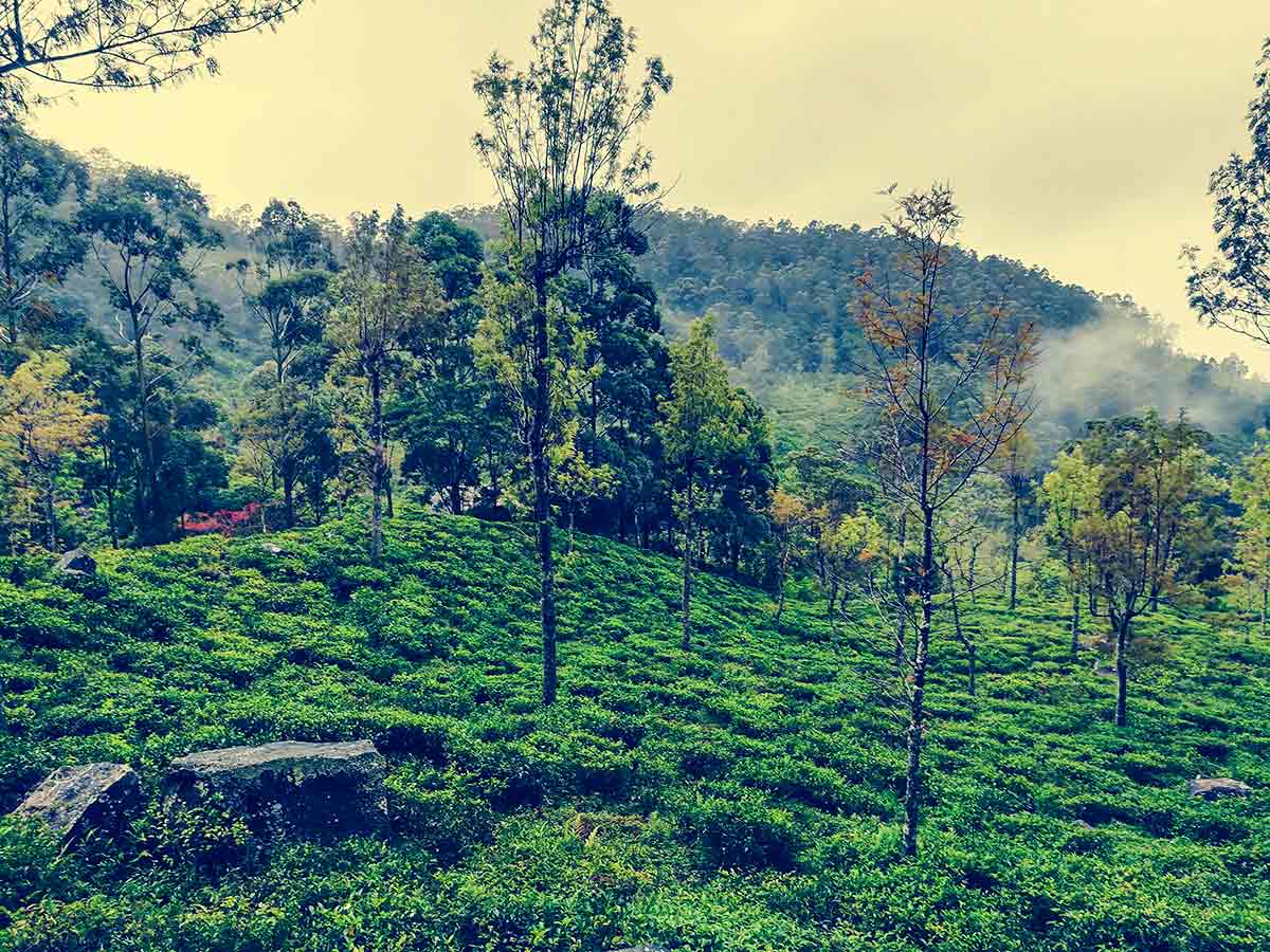
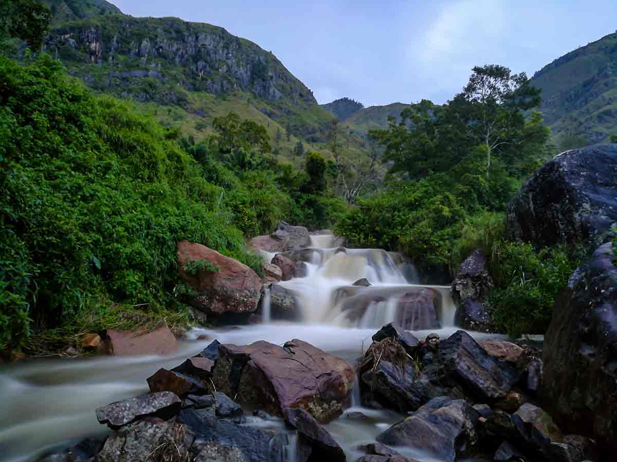
The Devil's Staircase is one of the most dramatic and challenging off-road routes in Sri Lanka, stretching approximately 14 kilometres through the highlands between Ohiya and Kalupahana. Known for its steep gradients, sharp zig-zag bends, and rugged terrain, it is widely considered one of the most thrilling mountain trails in the country. The trail typically begins from the Horton Plains-Ohiya road and descends through remote tea estates toward Kalupahana on the A4 main road. The route can be explored either as a hike or by 4WD vehicle. Hiking offers a more immersive experience through narrow ridges, forest patches, and open viewpoints, while off-road driving provides an adrenaline-filled journey across uneven estate roads. Along the trail, you pass several key landmarks including the stream that feeds Bambarakanda Falls, a natural spring pool, and a small temple. One of the most iconic features is the "V Cut" - a distinct V-shaped channel carved into the hillside to allow passage through the terrain. At around midway, the route offers different path options, with variations in difficulty and distance. Some sections are narrow and steep, requiring careful navigation and experience. The trail gradually transitions into lush tea estates before reaching the Ohiya-Horton Plains road. Throughout the journey, panoramic views open toward the southern lowlands and surrounding mountains, making the effort highly rewarding. Whether hiking or driving, the Devil's Staircase is a raw and unforgettable experience that combines adventure, scenery, and one of Sri Lanka's most unique highland routes.
Route Map
Map shows the start point, end point, and notable destinations along the route. Follow local road signs and verify current road conditions before setting off.
Travel Tips
- Start early morning to enjoy clear views and cooler temperatures.
- A 4WD vehicle is required if driving - standard cars cannot handle the terrain.
- Hire a local guide - the trail has multiple forks and no clear signage.
- Wear proper hiking boots if trekking - the terrain is steep and uneven.
- Carry water, snacks, and rain protection - weather changes quickly in the highlands.
- Begin from Bambarakanda if you prefer a more scenic hiking start point.
Destinations Along This Route
 Waterfall
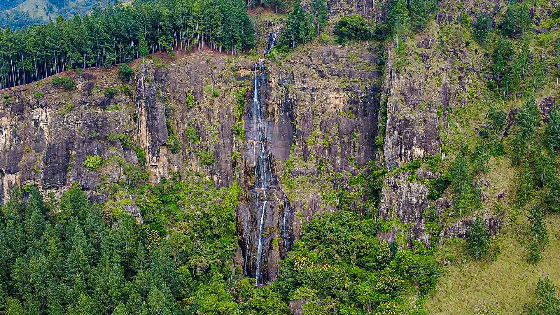
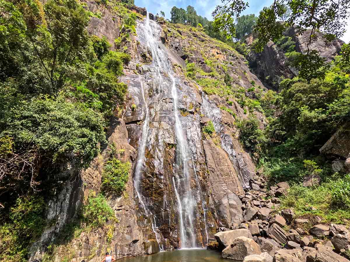
Bambarakanda Waterfall
Bambarakanda Waterfall is the tallest waterfall in Sri Lanka with a 241 m vertical drop, located near Kalupahana in the Badulla District of the central highlands.
162 km from ColomboEasy
View Details
Gallery
Safety Notes
Please read before visiting
- The trail is steep and physically demanding - assess your fitness before hiking.
- Off-road sections can be slippery, rocky, and dangerous after rain.
- Navigation is difficult - it is easy to get lost without a guide.
- Avoid traveling during heavy rain or thick mist.
- Be cautious on narrow ridges and steep drop-offs.
- Ensure your vehicle is suitable and in good condition before attempting the route.