
Ambuluwawa Tower
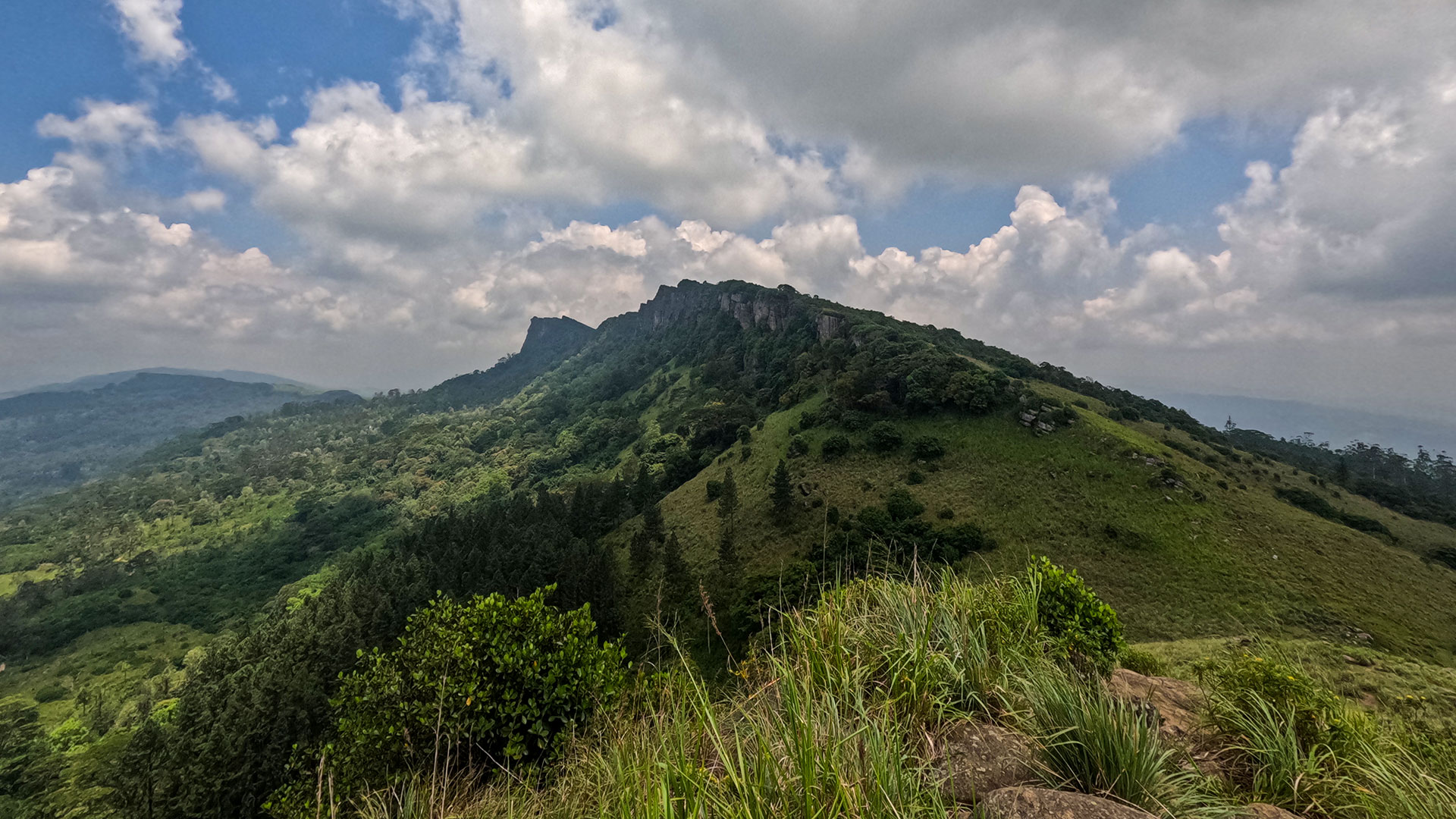
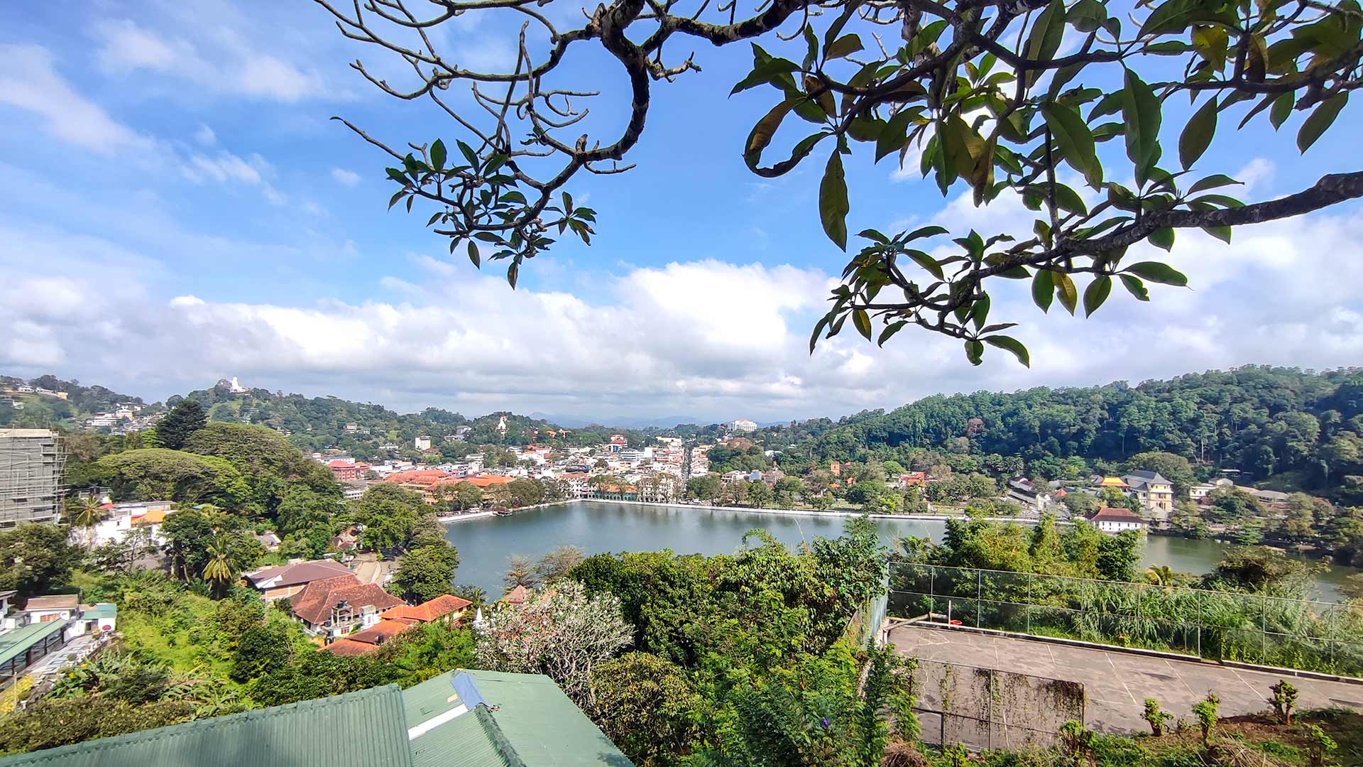
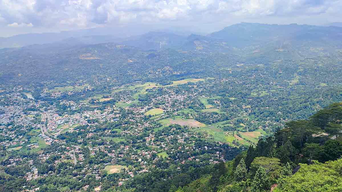
A unique multi-religious observation tower on Ambuluwawa Mountain near Gampola, offering 360° aerial views over Gampola town and the surrounding lowland valleys.
At a glance
Plan your viewpoint visit
Check access effort and visibility conditions first, then review the safest available approach.
Travel distance
Access effort
Best visibility
Access fee
Overview
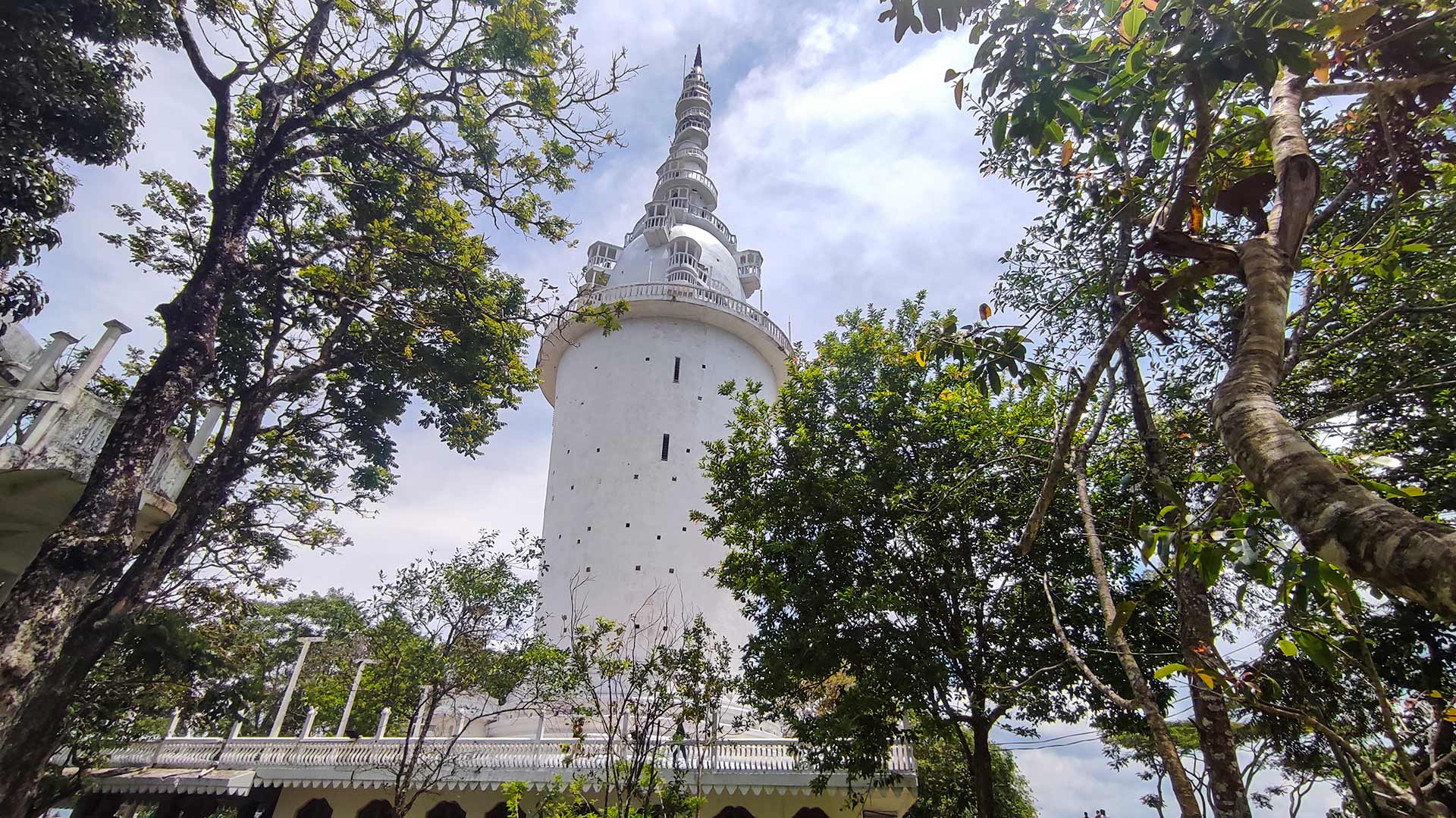
Ambuluwawa Tower stands on the summit of Ambuluwawa Mountain in Gampola, Kandy District. It is the centrepiece of the Ambuluwawa Biodiversity Complex, where a distinctive observation tower and several religious spaces occupy the hilltop. The attraction's current website describes the tower as 55 metres tall.
The tower itself is an architectural rarity — its design incorporates elements from Buddhism, Hinduism, Islam, and Christianity, representing Sri Lanka's multi-faith identity within a single structure. The cylindrical base rises to a bulbous middle section before tapering into a pointed stupa-like spire, giving it a silhouette unlike any other structure in Sri Lanka.
Visitors can climb the tower via a steep external spiral staircase. The ascent is narrow, becomes tighter higher up, and requires confidence with heights and good balance. People with mobility limitations, vertigo or difficulty passing others on narrow steps should consider viewing the tower from below rather than attempting the full climb. Clear conditions reveal Gampola and the surrounding ridges and valleys.
The official visitor information also lists a religious area, pinewood area, paddle boats, a souvenir shop and other activities. Availability can change, so these should be treated as possible parts of a visit rather than guaranteed facilities.
The attraction currently publishes daily hours of 7:30 AM to 5:30 PM. Hours, prices and vehicle access can change for maintenance or operations, so check the official website shortly before travelling rather than relying only on the review date below.
Viewpoint planning
Access and visibility planning
Check visibility, current access conditions, and the appropriate approach before travelling.
- Visibility and conditions
- Daylight in suitable weather, Check current operating conditions
- Fees and access
- LKR 150 (Rates checked 9 August 2026: foreign adult LKR 2,750; foreign child LKR 1,500; local child LKR 50. Separate vehicle charges apply. Cash is required at the gate; verify current rates before visiting.)
Location
Ambuluwawa Biodiversity Complex, Gampola, Kandy District, Central Province
Getting to the viewpoint
- From Colombo (~115 km • ~3:30 h via Kandy and Gampola)
Choose an approach
Select a marker to open that location in Google Maps.
Viewpoint safety
Review these access and viewpoint notes before visiting
- The external spiral staircase is steep and narrow — hold the railing at all times.
- Do not force the climb during strong wind, rain, severe crowding or poor visibility.
- Give way carefully to descending visitors and do not carry bulky bags on the staircase.
- Closely supervise children and reconsider the climb for anyone with mobility, balance or height-related concerns.
- Wear sensible footwear — steps can be slippery when wet.
Travel Tips
- Check the official website for current hours, temporary closures and vehicle restrictions before leaving.
- Visit on a clear morning and avoid peak crowding when possible.
- The tower staircase is narrow and steep; viewing from below is a valid alternative.
- Carry sufficient Sri Lankan rupees because the official FAQ currently states that gate tickets are cash-only.
- Combine with a visit to Gampola town or as a stop on the Kandy–Nuwara Eliya route.
Gallery
Where to go next
Continue planning
These suggestions use reviewed itineraries, routes, and travel groupings. Map closeness alone does not prove direct road or trail access, especially across mountain terrain. Check each guide's Access section before combining stops.