
Riverston Top Viewpoint
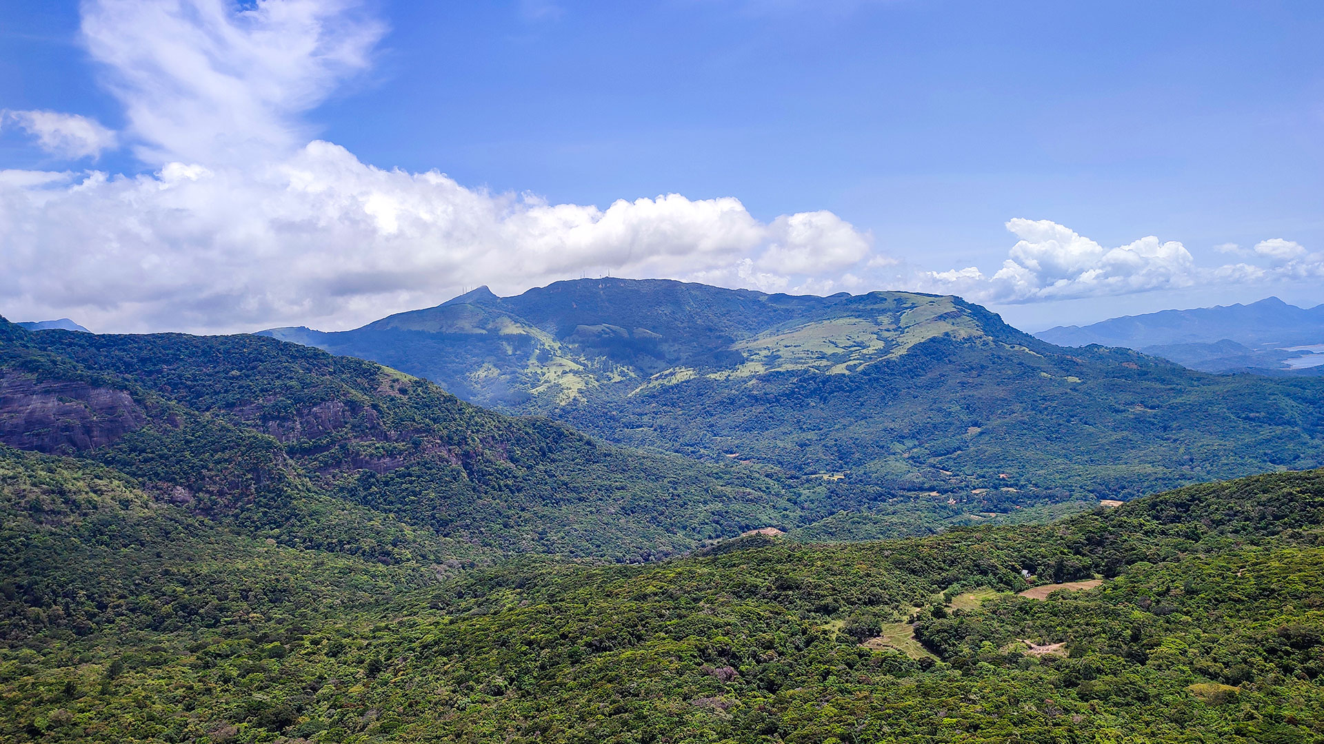
A highland viewpoint in the Knuckles area with exposed ridge scenery across mountain ranges and valleys when conditions are clear.
At a glance
Plan your viewpoint visit
Check access effort and visibility conditions first, then review the safest available approach.
Travel distance
Access effort
Best visibility
Access fee
Overview
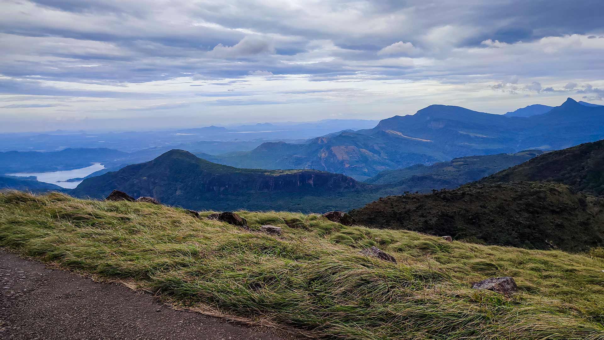
Riverston Top is a highland viewpoint in the Knuckles area of Matale District. The exposed upper road and ridge can provide broad views across mountain slopes, valleys, and distant terrain when weather permits.
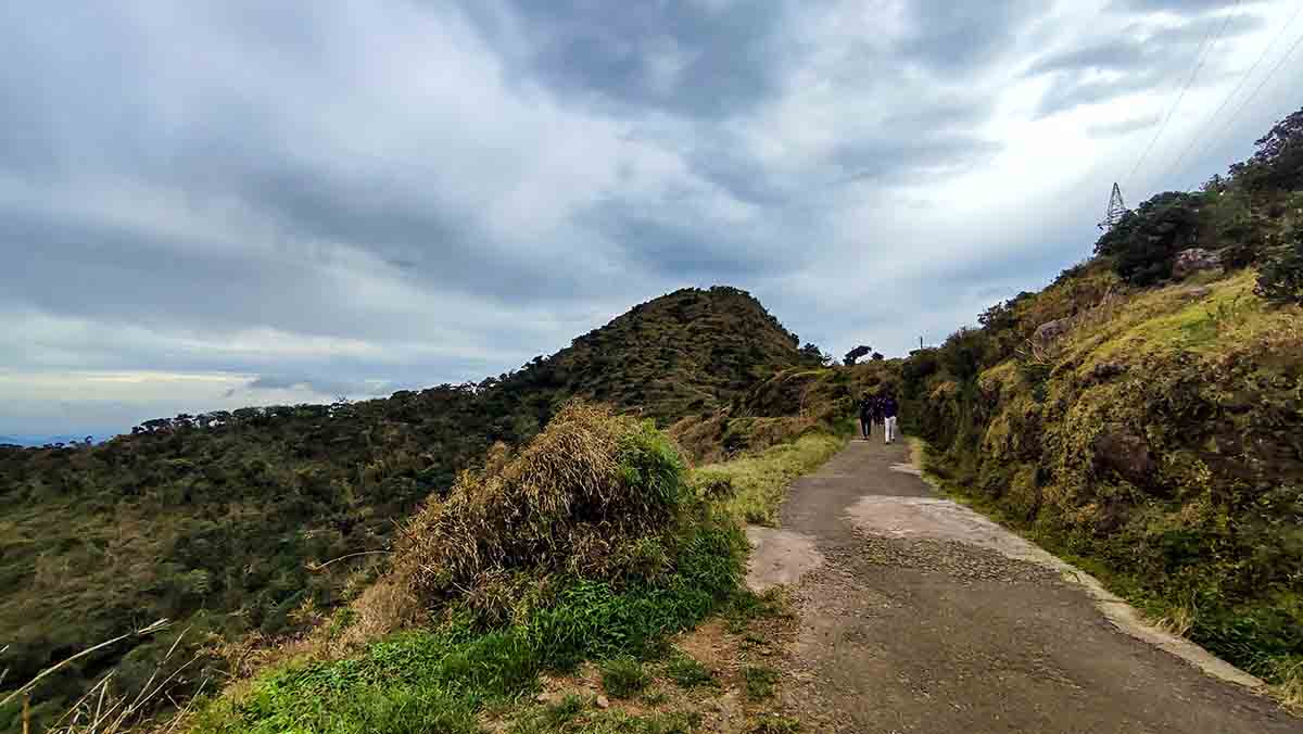
The approach road climbs steadily through montane forest and open highland grassland, offering views throughout the ascent. Current registration, charges, vehicle access, and walking arrangements should be confirmed at the local visitor point.
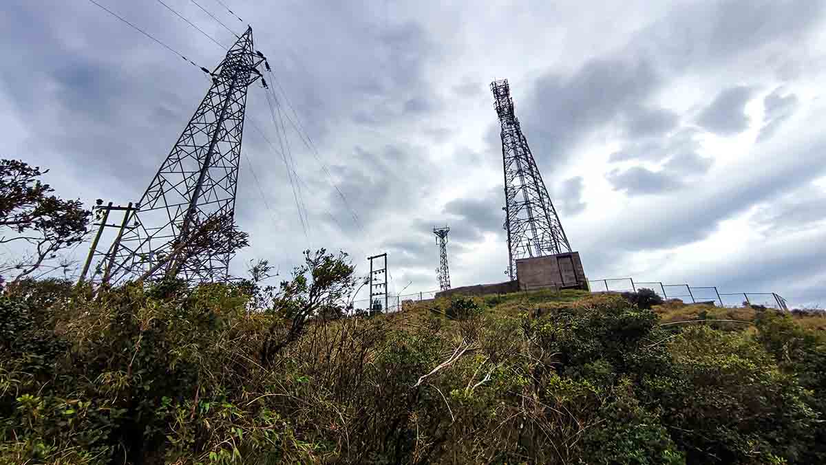
The summit of Riverston is characterised by open grassland, rocky terrain, and communication towers. Views can include multiple peaks and deep forested valleys, but mist, rain, wind, and access restrictions change the experience.
The Central Province visitor-capacity assessment describes the Riverston visitor trail as one path leading to the telecommunications tower and returning by the same route. It also records holiday congestion on the Rattota-Riverston road. Those findings favour an out-and-back plan, an early start, and turning around rather than creating a shortcut when the trail or road is crowded.
Knuckles Conservation Forest is one of the three components of the UNESCO-listed Central Highlands of Sri Lanka. Visitors should remain on permitted roads and paths and follow Forest Department or local visitor-centre instructions.
A visit to Riverston is typically combined with nearby attractions including the Pitawala Pathana grassland, Mini World's End viewpoint, and the Bambarella village area. The upper road sections benefit from a 4WD or sturdy vehicle.
Viewpoint planning
Access and visibility planning
Check visibility, current access conditions, and the appropriate approach before travelling.
- Visibility and conditions
- Clear daylight in suitable weather, Check current Knuckles access and warnings
- Fees and access
- A local visitor charge or registration arrangement may apply. Confirm current rates, permitted access, and ticket-counter operation on arrival.
Location
Riverston, Matale District, Central Province
Getting to the viewpoint
- From Colombo (~160 km • ~5:30 h via Kandy)
Choose an approach
Select a marker to open that location in Google Maps.
Viewpoint safety
Review these access and viewpoint notes before visiting
- Keep away from cliff edges and steep slopes near the summit ridge.
- Road can be slippery after rain — drive cautiously.
- Mist can reduce visibility quickly — stay on the road in low visibility.
- Stay clear of the communication tower fencing.
Travel Tips
- Visit early morning for the clearest views before mist forms over the peaks.
- Confirm current upper-road conditions and use the vehicle type recommended locally for that day.
- Combine with Pitawala Pathana and Mini World's End nearby.
- Carry water and snacks — no facilities at the summit.
- Strong winds are common at the top — bring a light jacket.
Gallery
Where to go next
Continue planning
These suggestions use reviewed itineraries, routes, and travel groupings. Map closeness alone does not prove direct road or trail access, especially across mountain terrain. Check each guide's Access section before combining stops.