Bomburu Ella Waterfall
A wide 30 m waterfall in Nuwara Eliya District, consisting of around 10 cascades within the Sita Eliya Kandapola Forest Reserve.
Distance
Difficulty
Best Time to Visit
Entrance Fee
Overview
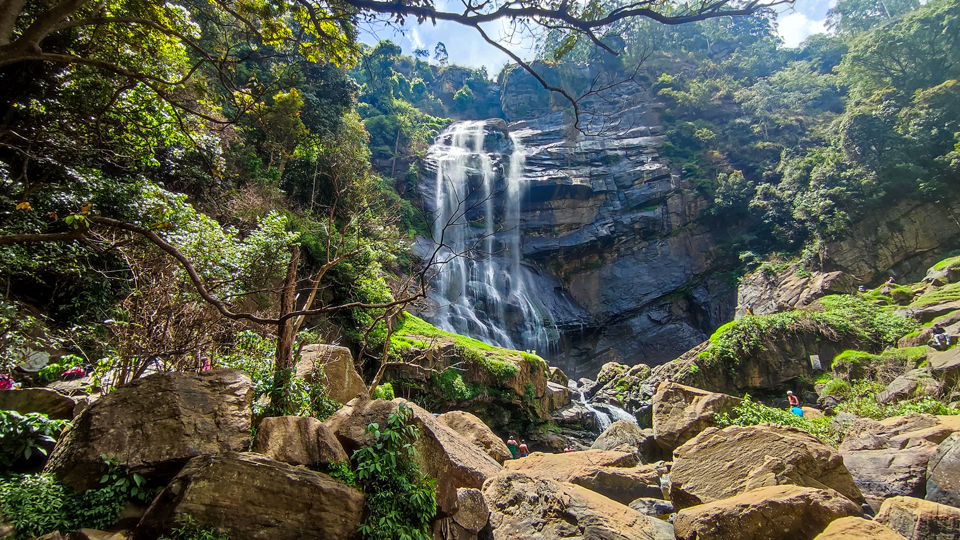
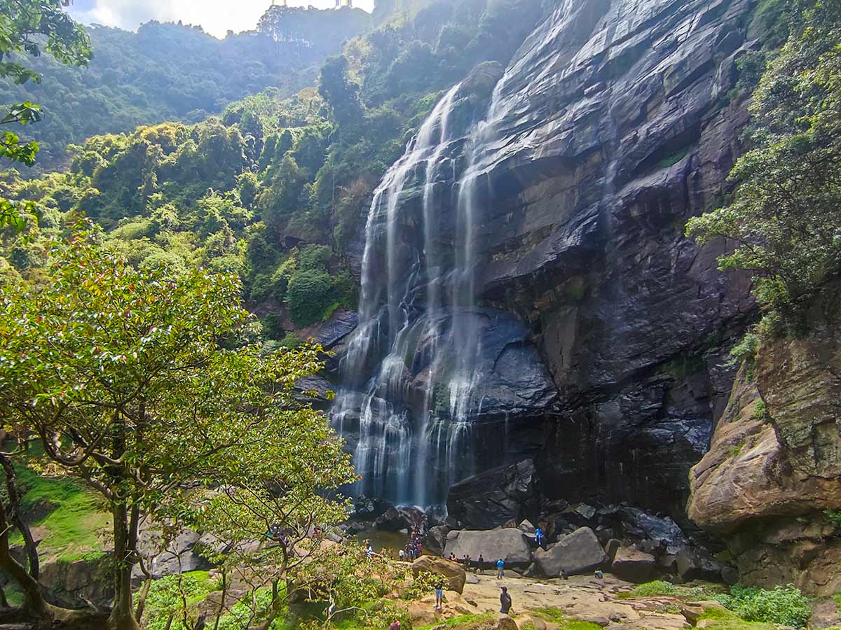
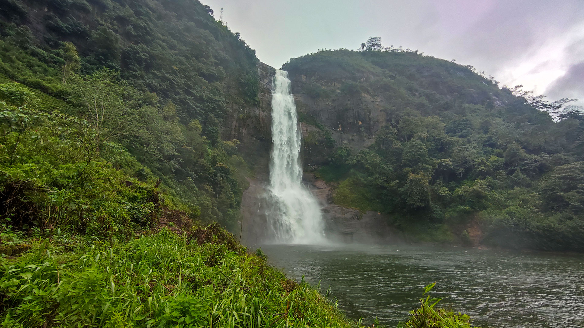
Bomburu Ella Waterfall (also known as Parawella Falls) is a beautiful 30-metre (98 ft) high waterfall located near Galpalama in the Nuwara Eliya District. Situated between 1500 and 2000 metres above sea level within the Sita Eliya Kandapola Forest Reserve, Bomburu Ella is not a single drop but a collection of around 10 small jungle cascades.
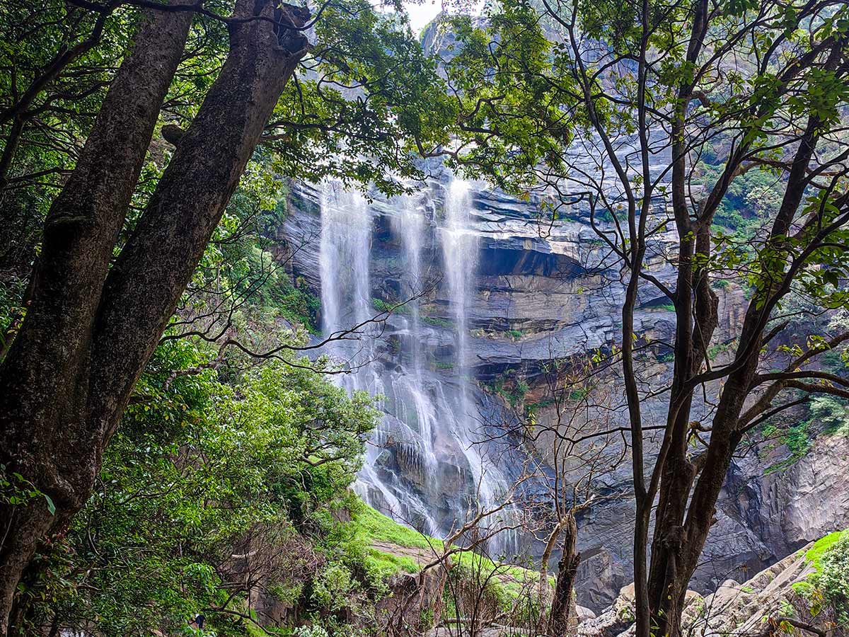
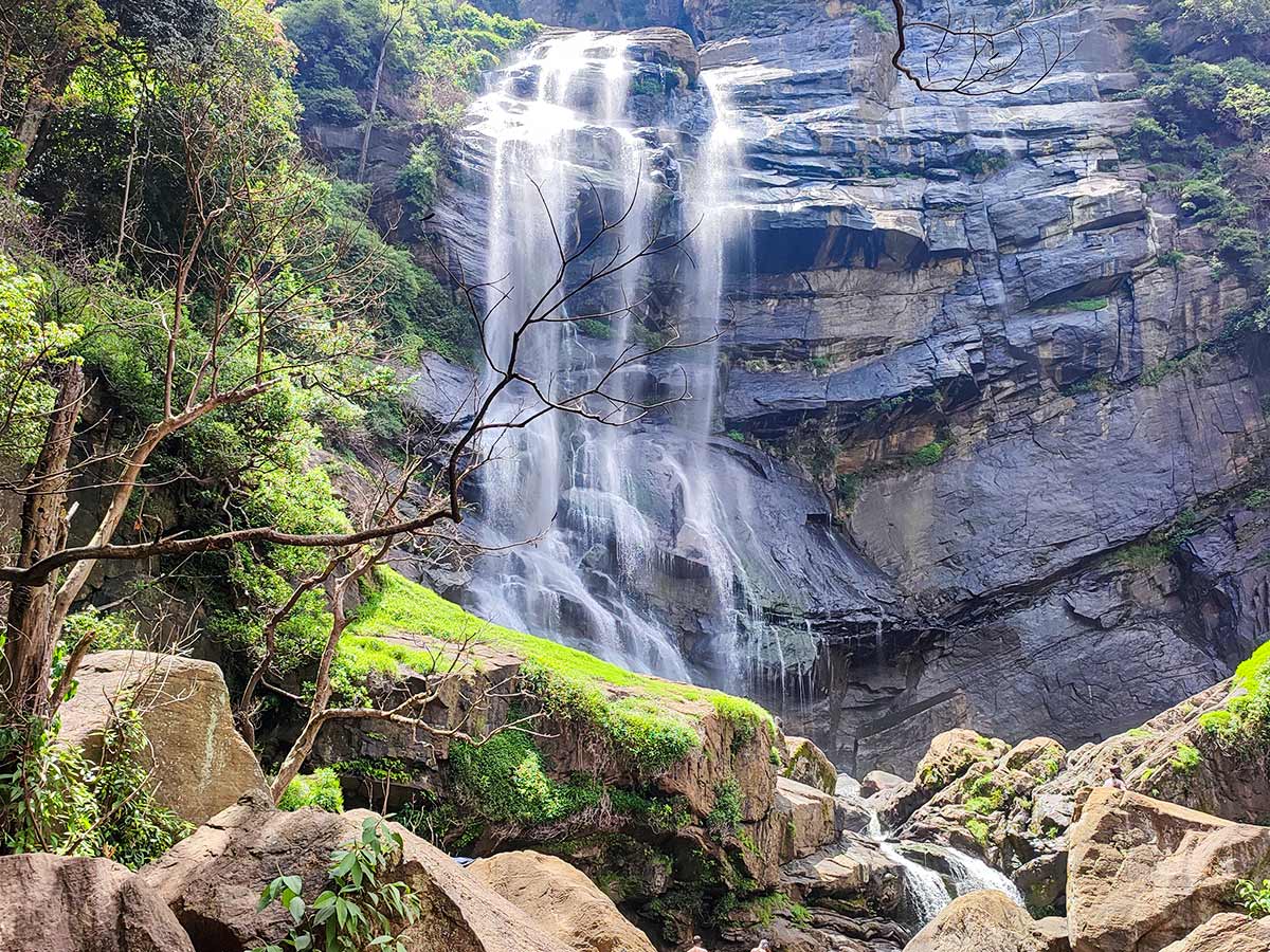
The waterfall is fed by the Dulgala Oya River, a tributary of the Uma River. Unlike tall vertical waterfalls, Bomburu Ella is known for its wide and layered flow, especially impressive after rainfall.
The hike to the waterfall is relatively accessible and family-friendly. The trail begins after crossing a small bridge and climbing about 150 steps. From there, visitors follow a mostly flat gravel path beside a stream, passing small bridges and shaded forest sections.
Along the route, there are scenic rest points and minor waterfalls. A short detour leads to an anicut (small dam) from where the main waterfall can be partially viewed through the trees. During low water levels, some visitors cross the stream for clearer views, though caution is required.
The final section of the trail becomes steeper and unpaved, with some dry and slippery patches. The full hike takes approximately 45 minutes one way.
Bathing at the base of the waterfall is not permitted.
Experience
Gallery
🧭 How to Get There
📍 Location
Galpalama, Nuwara Eliya District, Central Province
🚗 How to Reach
- From Colombo (~172 km • ~5:30 h)
🧭 Select your starting point
Click markers to open locations in Google Maps
Travel Tips
- Visit on weekdays to avoid heavy crowds.
- Wear comfortable walking shoes for gravel and uneven sections.
- Bring drinking water - limited facilities along the trail.
- No leeches during dry season; expect them during rainy months.
- Best photography after rainfall when water flow is strong.
- Avoid attempting to cross the river during high water levels.
Safety Notes
Please read before visiting
- Final section of the trail can be slippery.
- Do not bathe at the waterfall base.
- Supervise children near water crossings.
- Crowds increase after noon - plan early morning visits.
- Stay on marked paths to protect forest reserve ecosystem.
Nearby Destinations
 Viewpoint
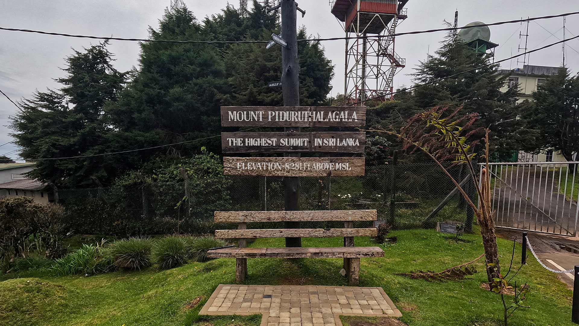
Pidurutalagala (Mount Pedro)
Pidurutalagala, also known as Mount Pedro, is the highest peak in Sri Lanka located near Nuwara Eliya, accessible by road and known for its cool climate and panoramic highland views.
View Details
 Waterfall
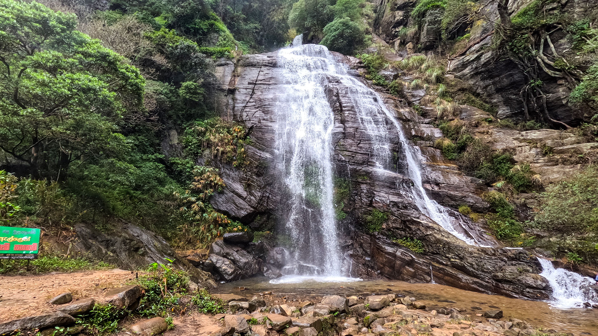
Kolapathana Waterfall
Kolapathana Waterfall is a 70 m high cascading waterfall located in Mandaramnuwara, Nuwara Eliya District, forming a scenic cluster of falls.
View Details
 Trail
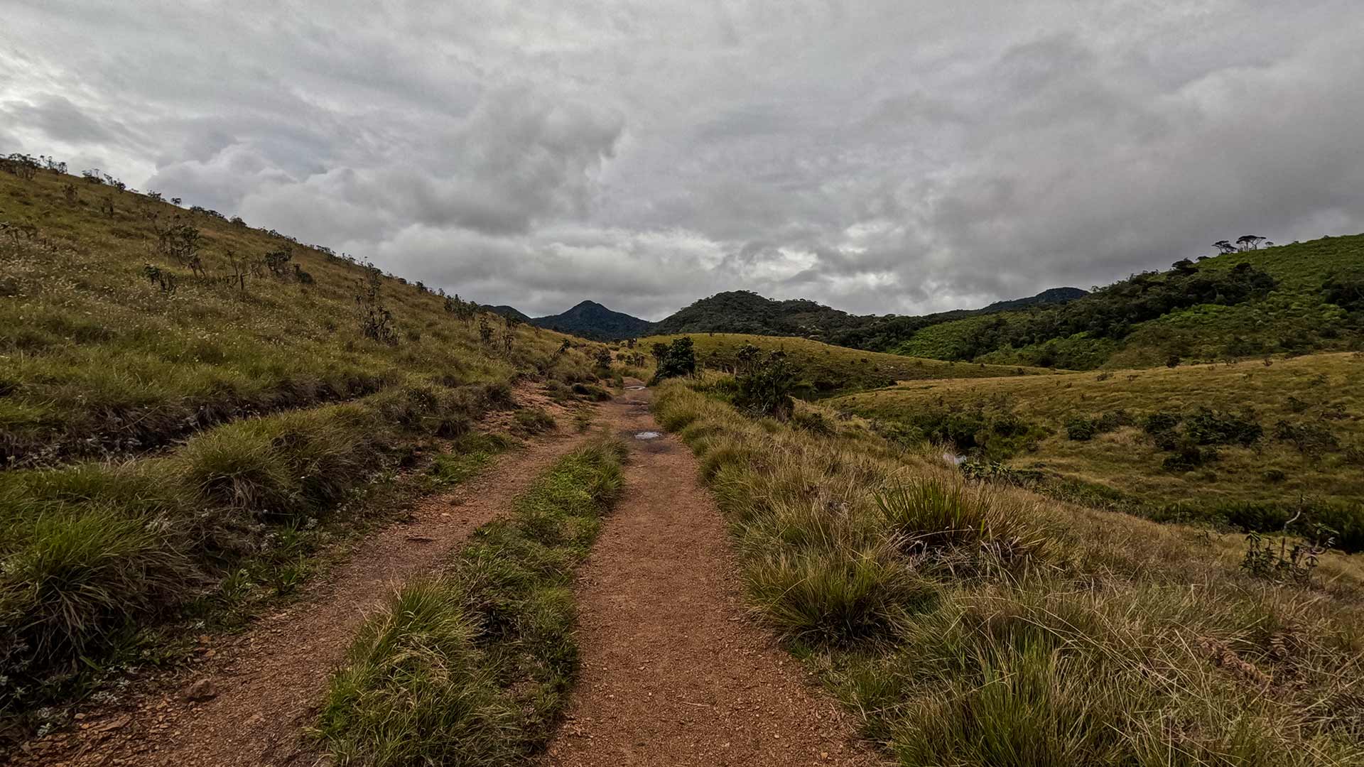
TrailHorton Plains Trail
The Horton Plains Trail is a 9.5 km circular walk across a high-altitude plateau inside Horton Plains National Park, featuring World's End - a sheer 870 m escarpment - and Baker's Falls, while traversing montane grasslands and cloud forest rich in endemic wildlife.
View Details
Explore More Waterfalls
WaterfallKolapathana Waterfall
Kolapathana Waterfall is a 70 m high cascading waterfall located in Mandaramnuwara, Nuwara Eliya District, forming a scenic cluster of falls.
View Details
 Waterfall
Upper Ramboda Fall
Upper Ramboda Fall (Ihala Ramboda Ella) is a 12 m high waterfall located above the Gampola-Nuwara Eliya Road in Ramboda, Nuwara Eliya District.
View Details
 Waterfall
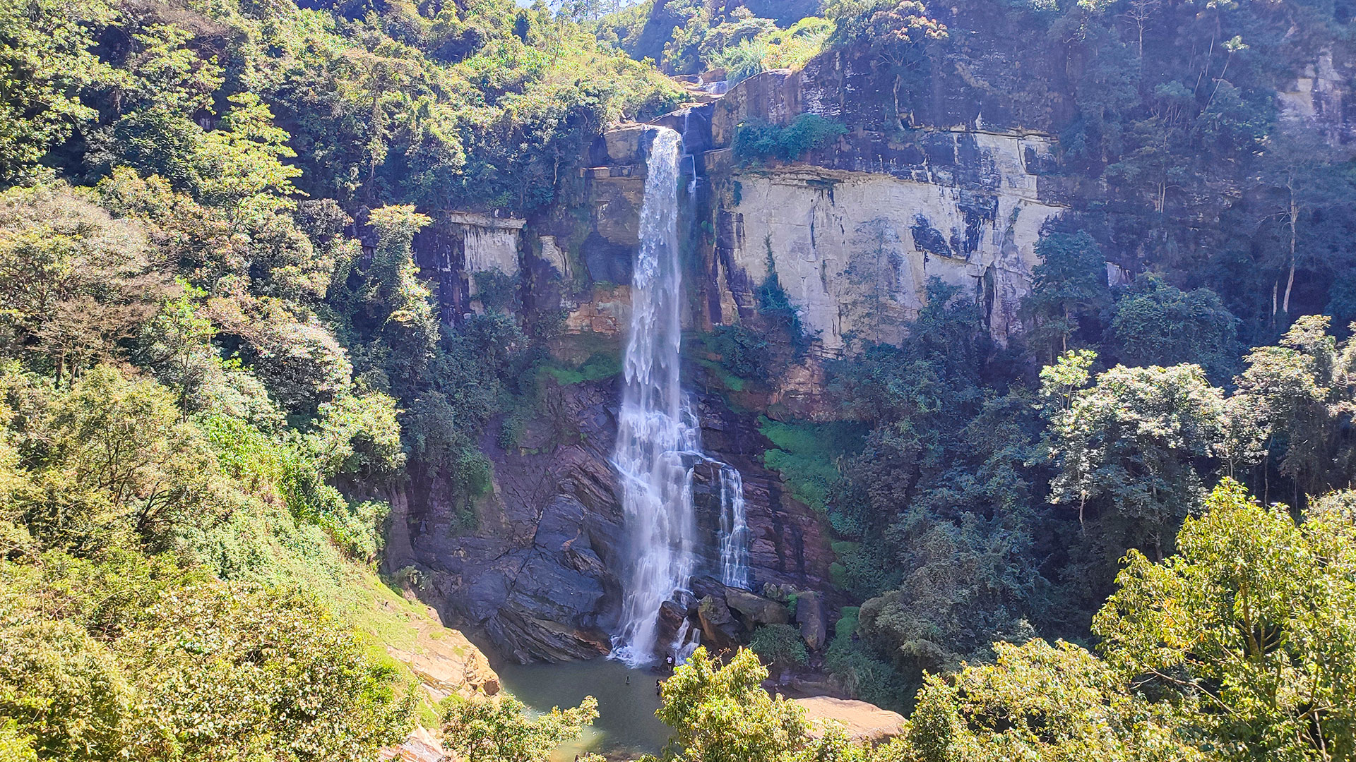
Gartmore Falls
Gartmore Falls is a 25 m high waterfall located in Maskeliya near Sri Pada (Adam's Peak), within the Nuwara Eliya District.
View Details