Kirigalpoththa
The second tallest mountain in Sri Lanka at 2,388 m, accessible via a scenic trail inside Horton Plains National Park.
Distance
Difficulty
Best Time to Visit
Entrance Fee
Overview
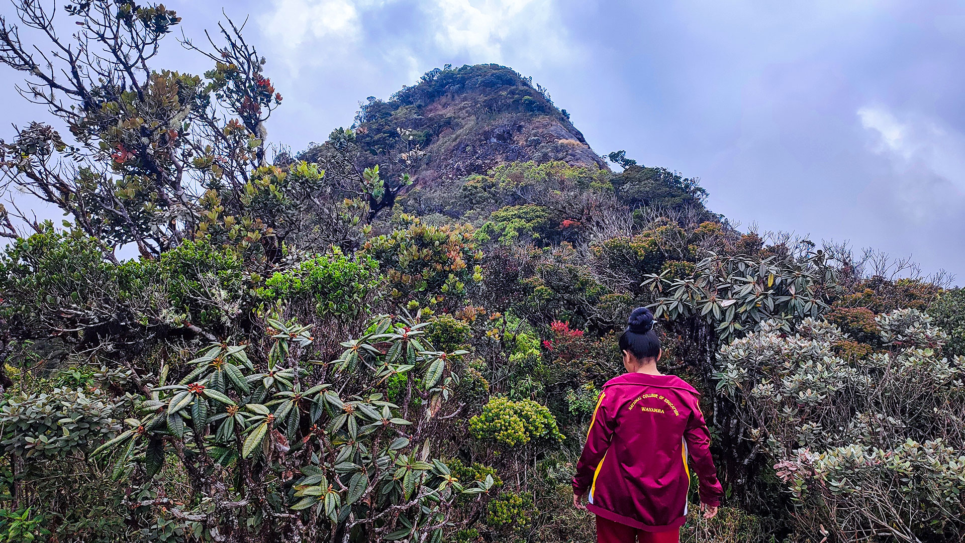
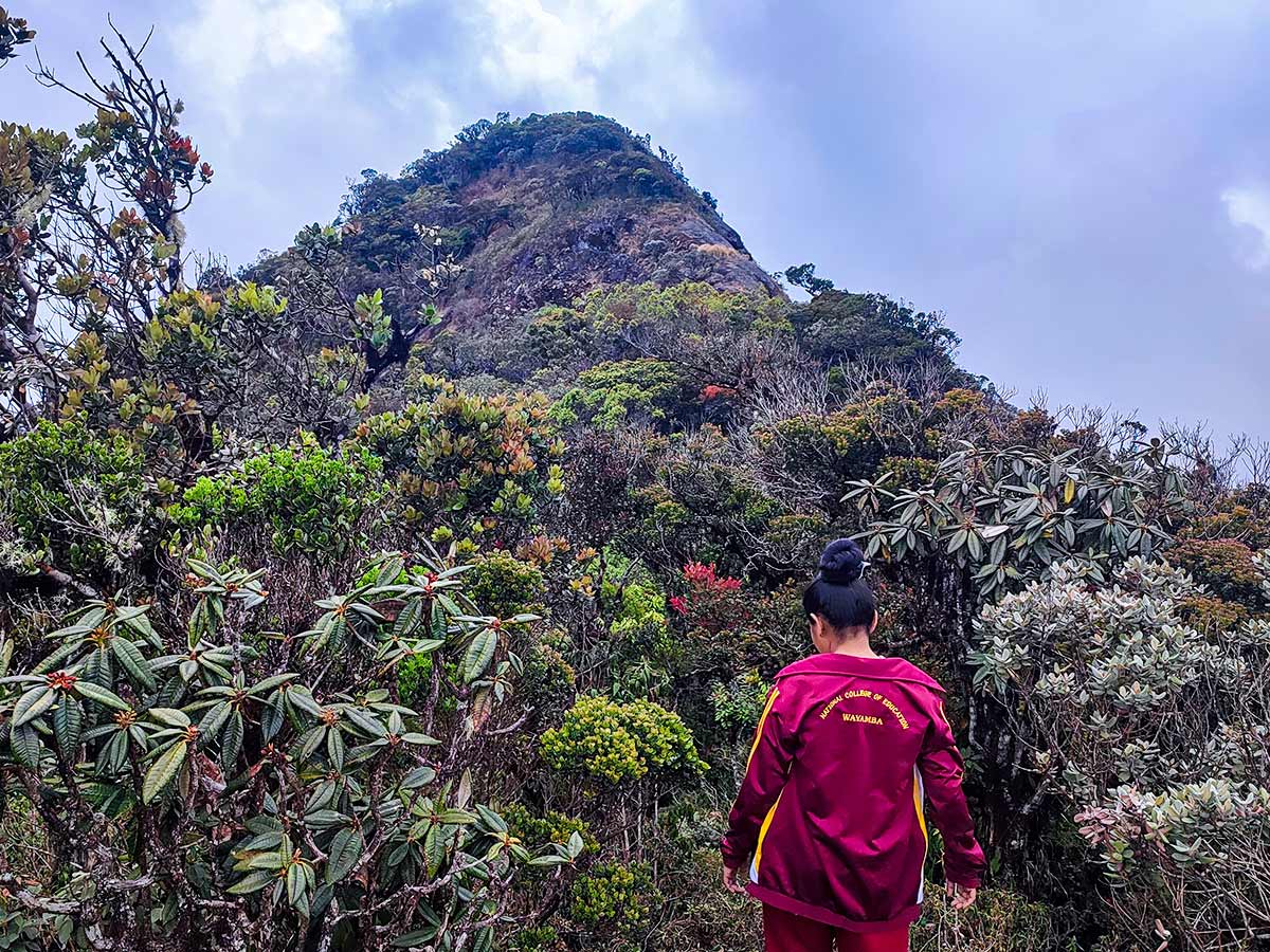
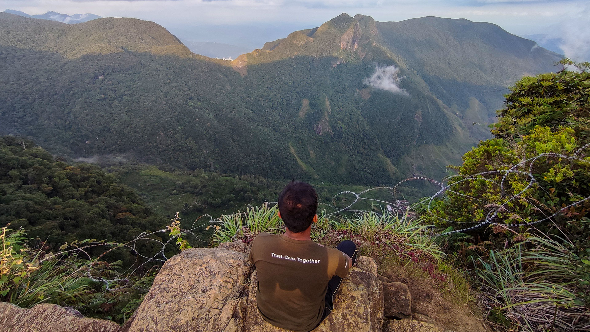
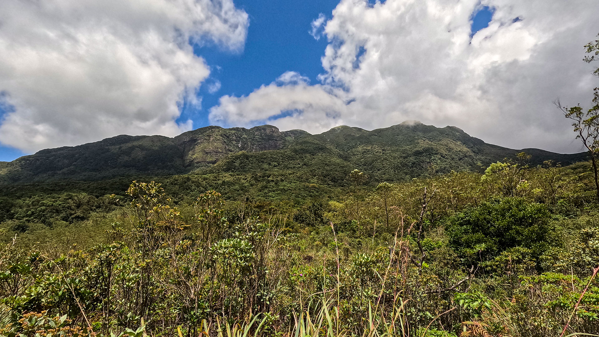
Kirigalpoththa rises to 2,388 metres (7,835 ft) above mean sea level, making it the second tallest mountain in Sri Lanka. It is also the highest mountain in the country whose summit is accessible to the general public, as the highest peak, Pidurutalagala, is restricted due to a military installation.
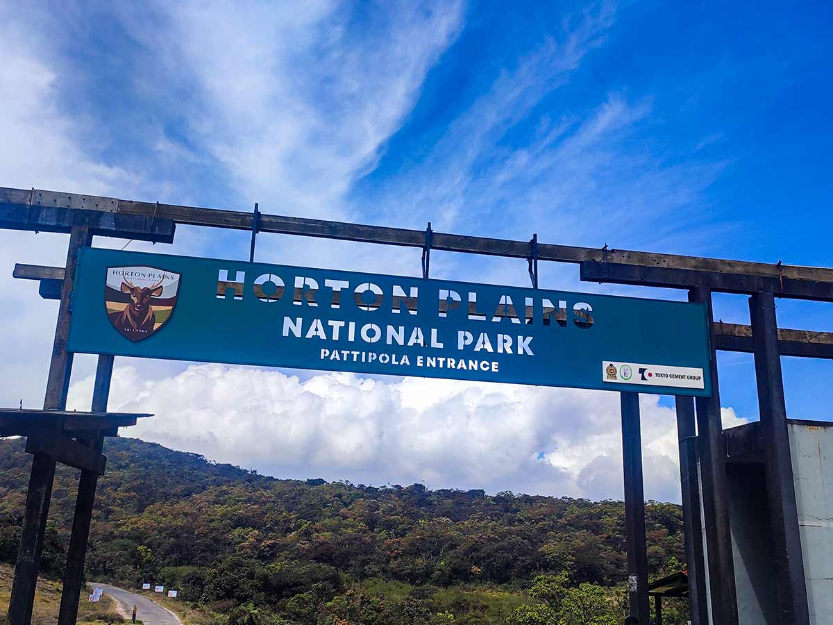
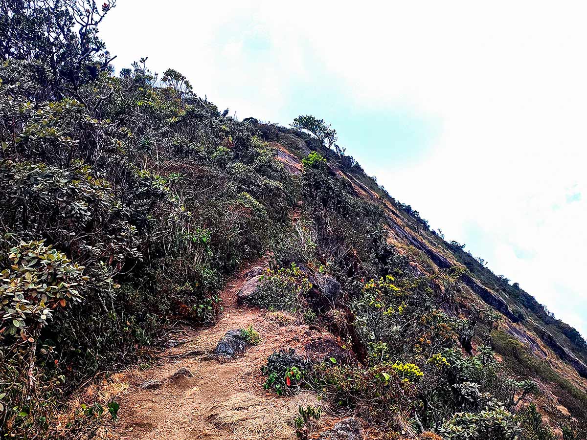
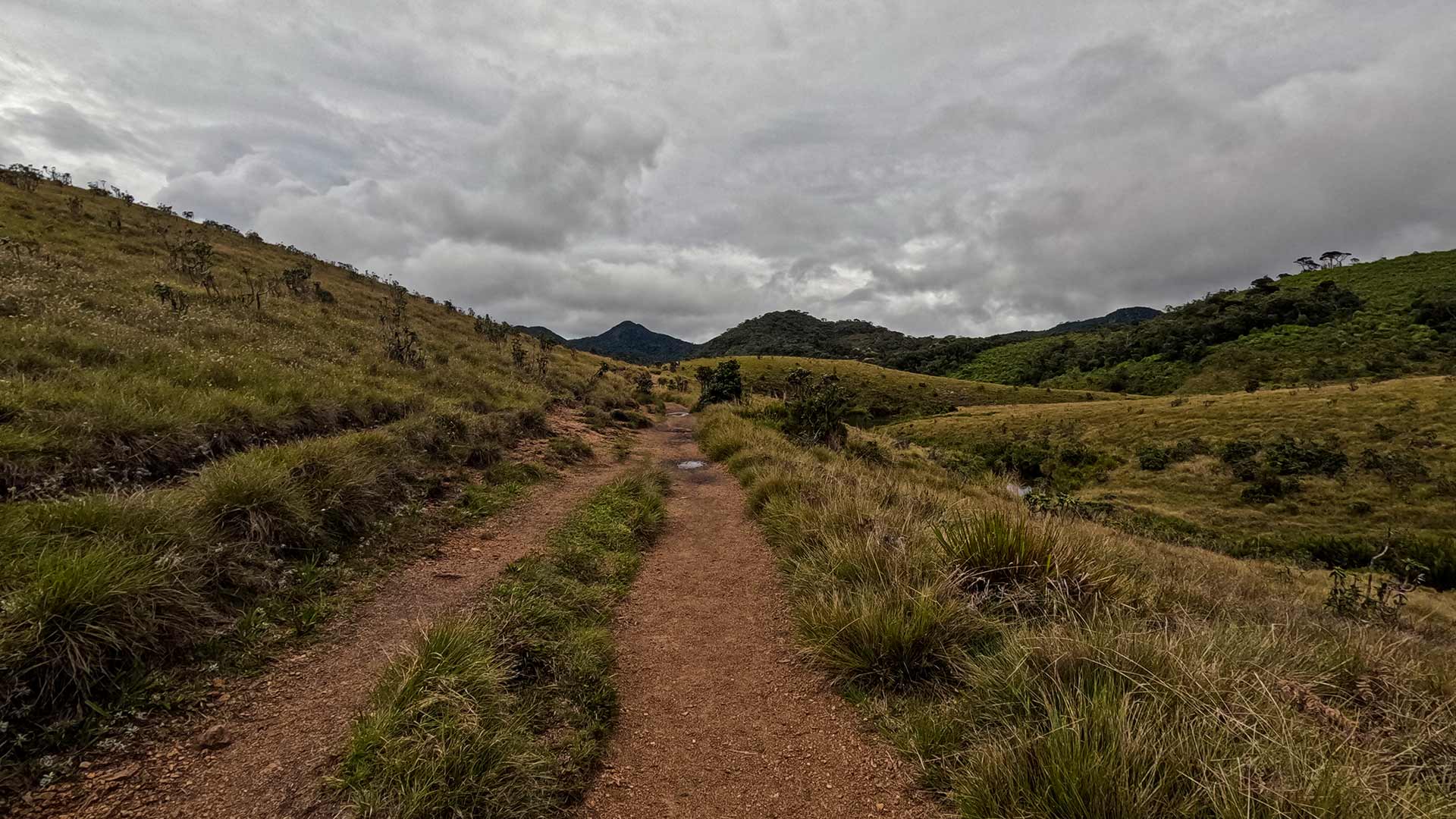
The mountain is located within Horton Plains National Park in the Nuwara Eliya District. The hiking trail begins at the Horton Plains Visitor Centre and follows a 5.6 km route to the summit.
The trail gains approximately 252 metres in elevation, starting from around 2,139 metres and reaching 2,388 metres at the summit. The hike typically takes 3-4 hours to complete.
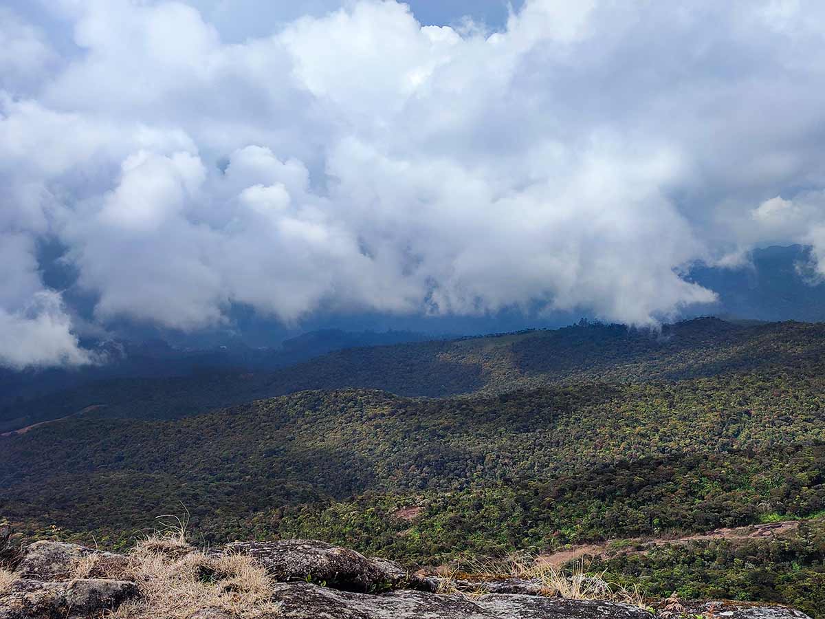
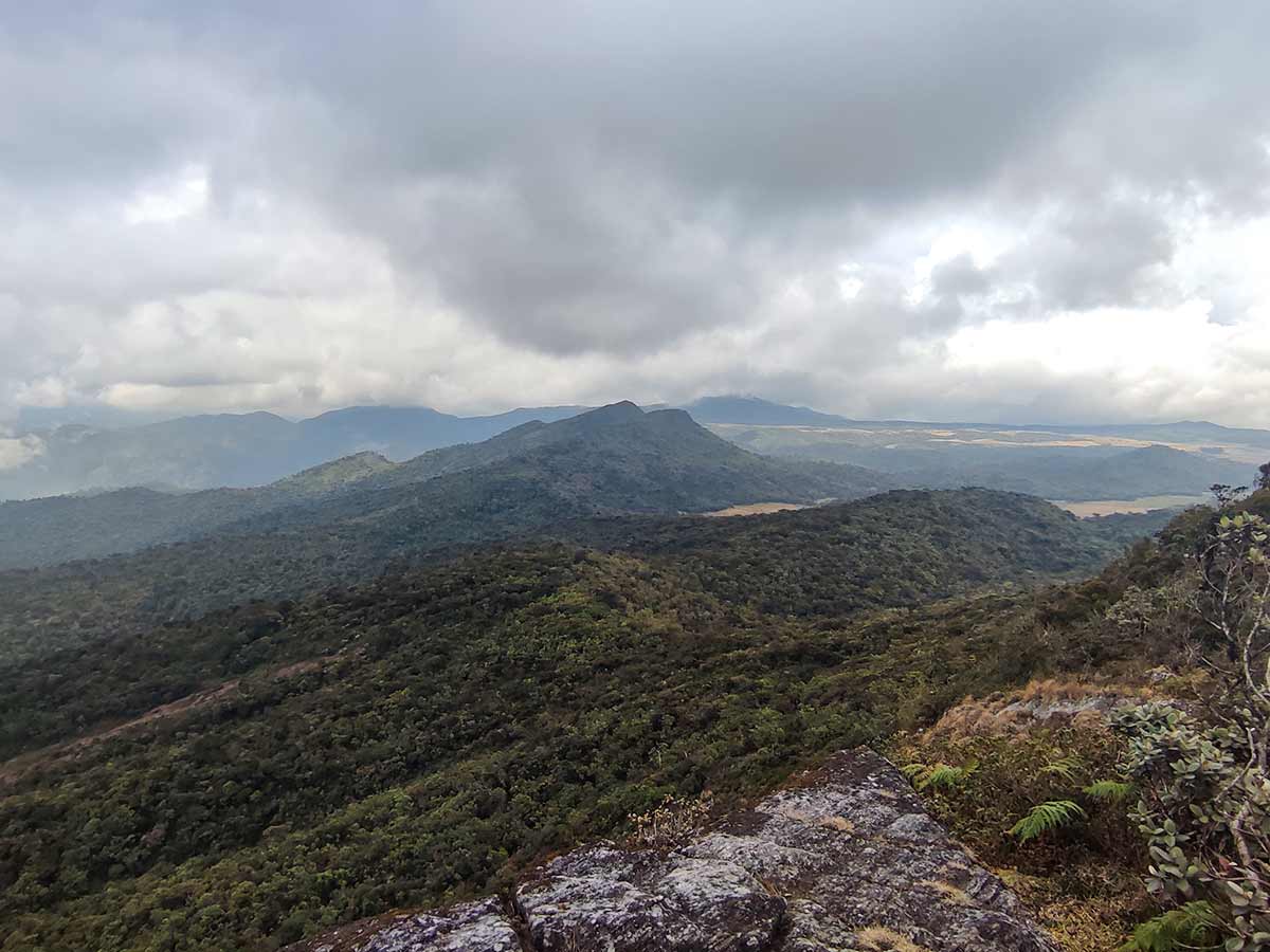
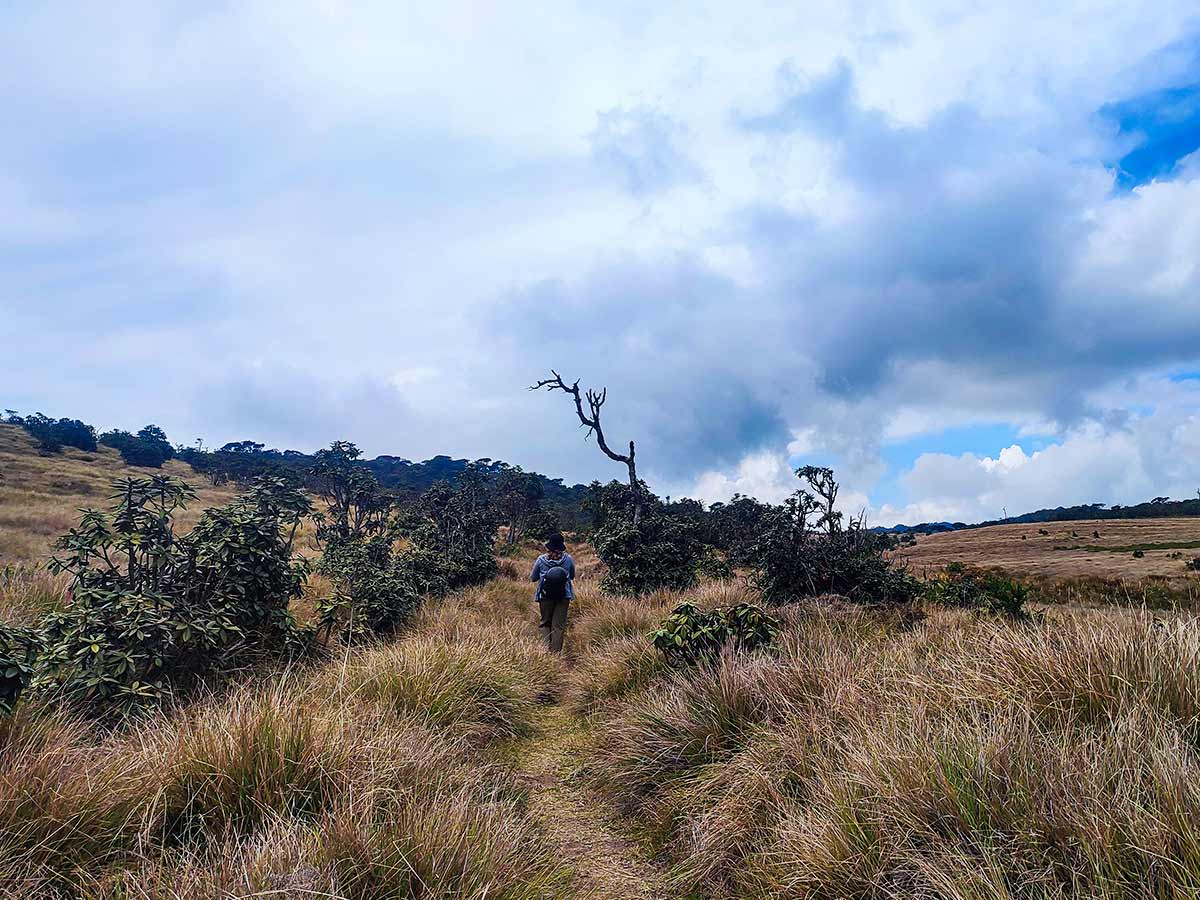
Weather conditions in the Nuwara Eliya region are generally cold and often rainy, particularly during monsoon months. The relatively drier months are February to April and July to September. Strong winds and low temperatures are common near the summit.
Hikers are advised to remain on the established trail, as the surrounding plains can be marshy.
Gallery
🧭 How to Get There
📍 Location
Horton Plains National Park, Nuwara Eliya District, Central Province
🚗 How to Reach
- From Colombo (~181 km • ~6 h)
🧭 Select your starting point
Click markers to open locations in Google Maps
Travel Guide
Travel Tips
- Carry water and light snacks for the 3-4 hour hike.
- Wear warm clothing due to cold summit temperatures.
- Use proper hiking footwear as the terrain can be muddy.
- Avoid straying from the marked trail.
Safety Notes
Please read before visiting
- Weather can change rapidly in the highlands.
- Strong winds are common near the summit.
- The surrounding plains are marshy - stay on the path.
- Leeches may be present during rainy months.
Nearby Destinations
 Viewpoint
The Great World's End - Horton Plains
The Great World's End is a sheer escarpment inside Horton Plains National Park, offering one of the most breathtaking panoramic views in Sri Lanka.
View Details
 Trail
TrailHorton Plains Trail
The Horton Plains Trail is a 9.5 km circular walk across a high-altitude plateau inside Horton Plains National Park, featuring World's End - a sheer 870 m escarpment - and Baker's Falls, while traversing montane grasslands and cloud forest rich in endemic wildlife.
View Details
 Viewpoint
Baker's Bend
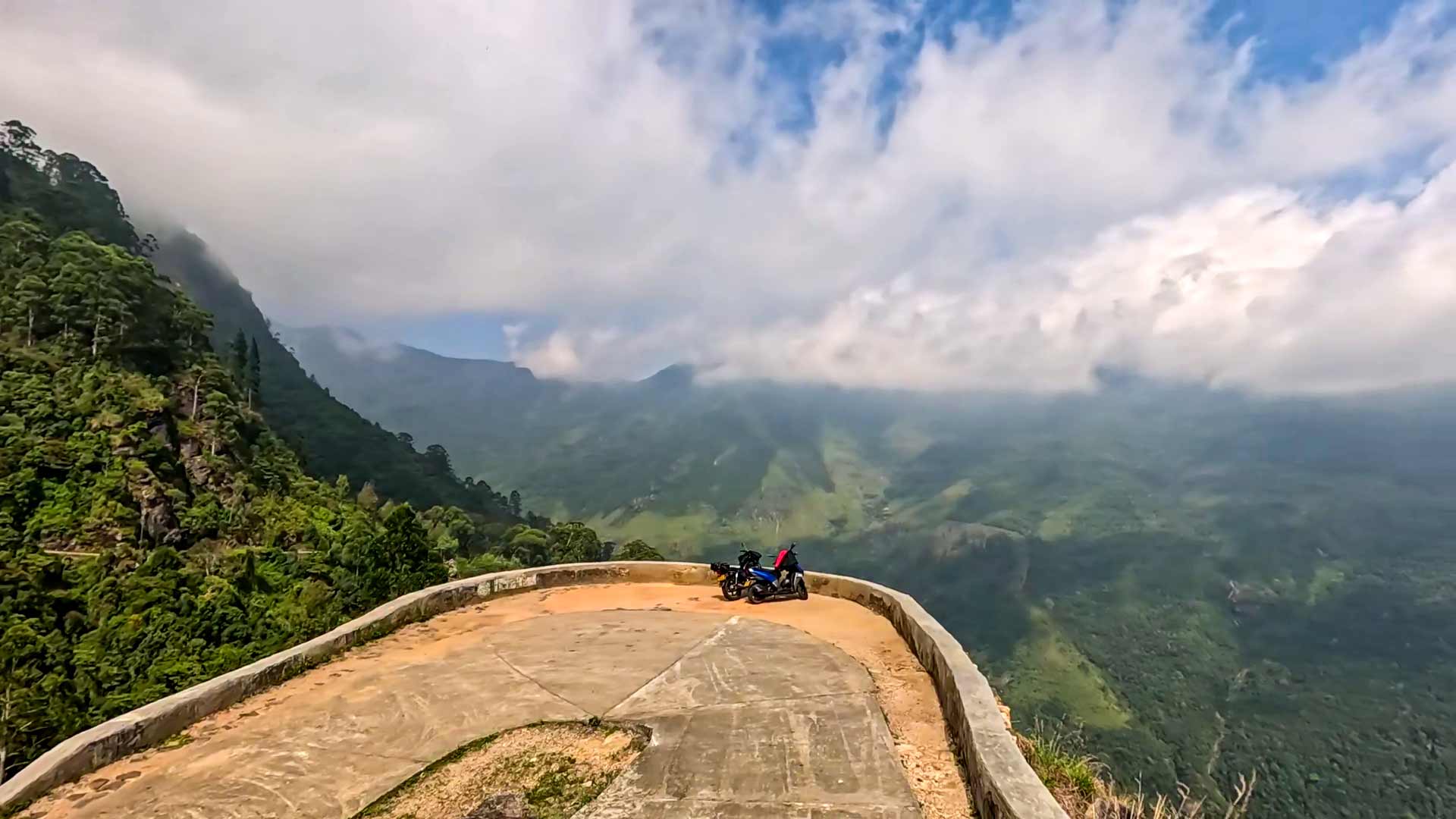
Baker's Bend is a high-altitude viewpoint in Nonpareil Estate near Belihuloya, known for its sharp curve, steep ascent, and sweeping views of surrounding mountain ranges and reservoirs.
View Details
Explore More Hiking Trails
 Hiking Trail
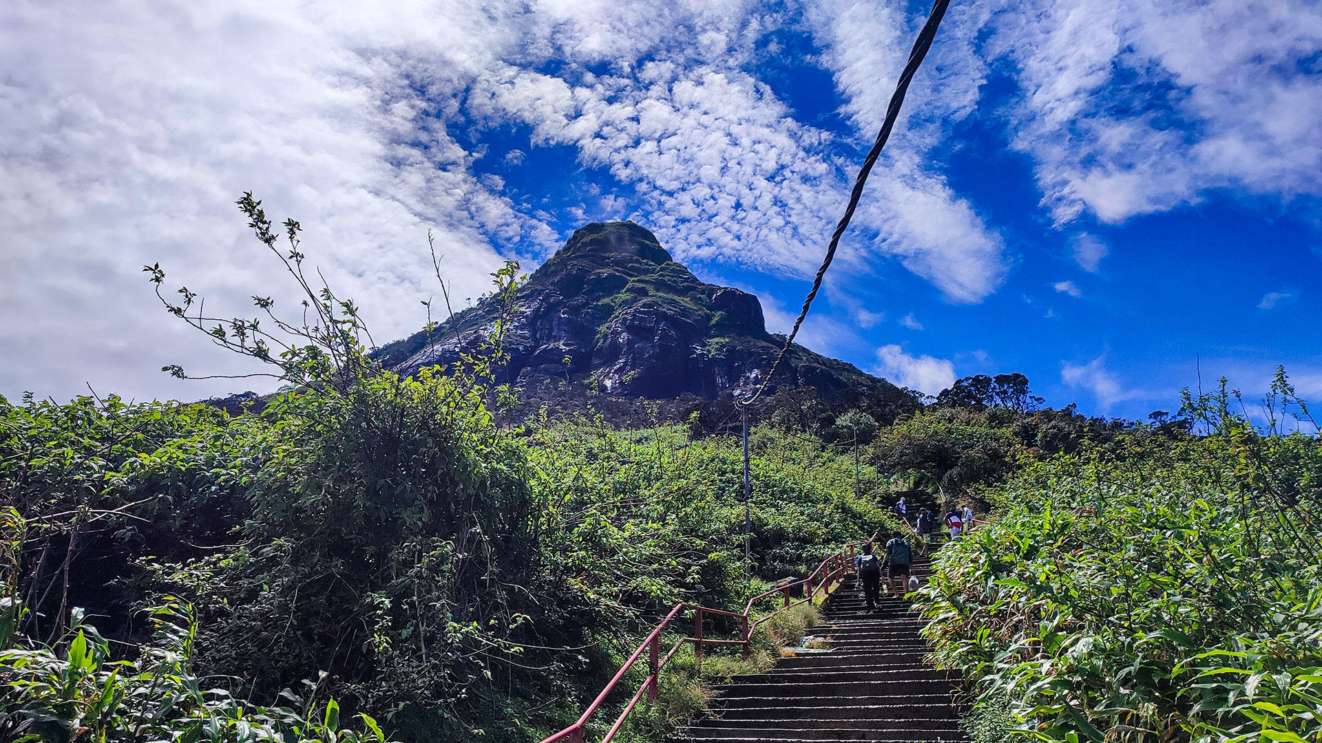
Adam's Peak - Hatton (Nallathanniya) Trail
The Hatton-Nallathanniya trail is the most used route to Adam's Peak (Sri Pada), offering a well-paved 5 km ascent to the summit.
View Details
 Hiking Trail
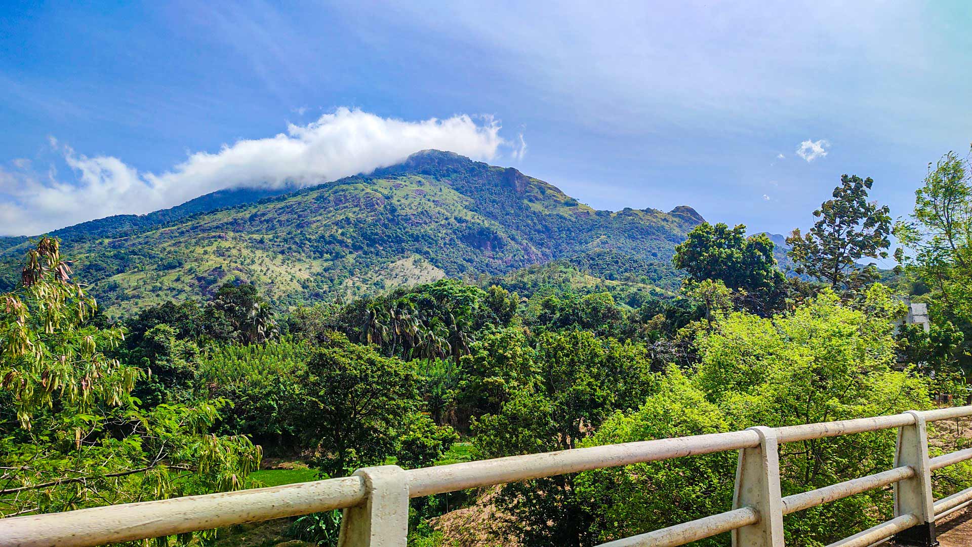
Hawagala Mountain
Hawagala Mountain is a prominent peak near Belihuloya in Ratnapura District, known for its challenging hike and wide summit views over surrounding mountains and valleys.
View Details
 Hiking Trail
Knuckles 05 Peak - Bambarella Trail
The Bambarella Trail, also known as Dawatagala Knuckles Natural Trail, is a moderate hike in the Knuckles Conservation Forest leading to the 05 Peak ridge.
View Details